Products
(292)
Pangea Geosystems is an industry leader in deformation monitoring systems, support and services.
mDetect is a muon technology company that aims to see the unseeable! Muons are particles from space that transit through solid structures both above and below ground. Muon technology has proven applications in the mining sector to support mineral deposit identification and analysis, subsurface mapping of underground works, and even the ability to detect changes in structures such as when air gaps open up. We are exploring applications of this technology platform in construction, infrastructure a
The OreSense® Platform by Plotlogic is an advanced mining technology that leverages artificial intelligence , hyperspectral imaging, and LiDAR to provide real-time, precise ore characterization. This innovative solution enables mining operators to accurately identify the location and material properties of every rock within their operations, enhancing efficiency and sustainability. By delivering immediate insights into ore composition, OreSense® facilitates optimized resource extraction, reduces
GES is an integrated 2D geological evaluation and 3D modeling software for upstream oil and gas production. Within the E&P process, GES can perform Log Interpretation, Geological Mapping and Evaluation, 2D and 3D Volumetric, Geomodeling, Well Plan, Horizontal Well Geosteering, Development Plan, and Remaining Oil Analysis.
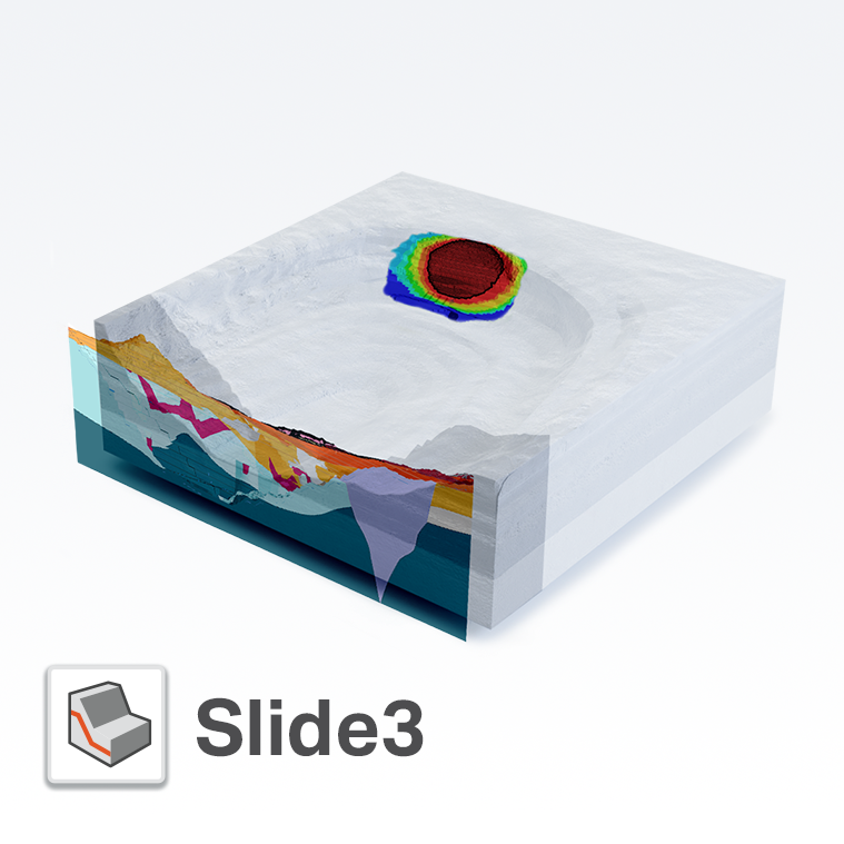
Created in 2017, Slide3 (formerly “Slide3”) is a new tool that allows geotechnical engineers to calculate the factor of safety of complex 3D slope stability geometries that 2D models cannot fully simulate. Model advanced geometries like landslides, MSE walls, slopes supported by soil nails, and more. With Slide3, users can calculate failures in any direction without the need for defining the direction in advance, increasing efficiency in modeling and analysis. Computing large models can take t
Visualise, track, integrate, and manage your geoscience data from a centralised, auditable environment. Central gives multidisciplinary teams a space to collaborate in the cloud. Whether you’re a geologist, geophysicist, engineer, manager, or stakeholder – everyone can keep abreast of project changes as they happen. Central is your shared workspace wherever you are in the world, making projects more accessible, shareable and collaborative.
RSData is a versatile toolkit for the analysis of rock and soil strength data, and the determination of strength envelopes and other physical parameters. RSData includes RocProp, a database of intact rock properties that runs as a standalone application. Determine the parameters of linear and non-linear strength envelopes for rock and soil, based on the analysis of triaxial or direct shear strength data. Utilize four of the most widely used strength models in geotechnical engineering - Generali
We started TabLogs to change the game for the Geotechnical Engineering Industry. Our intuitive cloud-based borehole logging software removes a well known bottleneck within the Geotechnical Investigation process by generating finished graphical logs, on site, and in seconds. This means no data entry time back in the office and the capability to provide professional borehole logs to your Client weeks before your nearest competitor. TabLogs was founded by a Geotechnical Engineer that realised the
Settle3 is a three-dimensional program for the analysis of vertical consolidation and settlement under foundations, embankments and surface loads. The program combines the simplicity of one-dimensional analysis with the power and visualization capabilities of more sophisticated three-dimensional programs. You can quickly create complex soil profiles and loading conditions, and view results in three dimensions. Modeling can be staged, and time-dependent consolidation analysis can be performed in
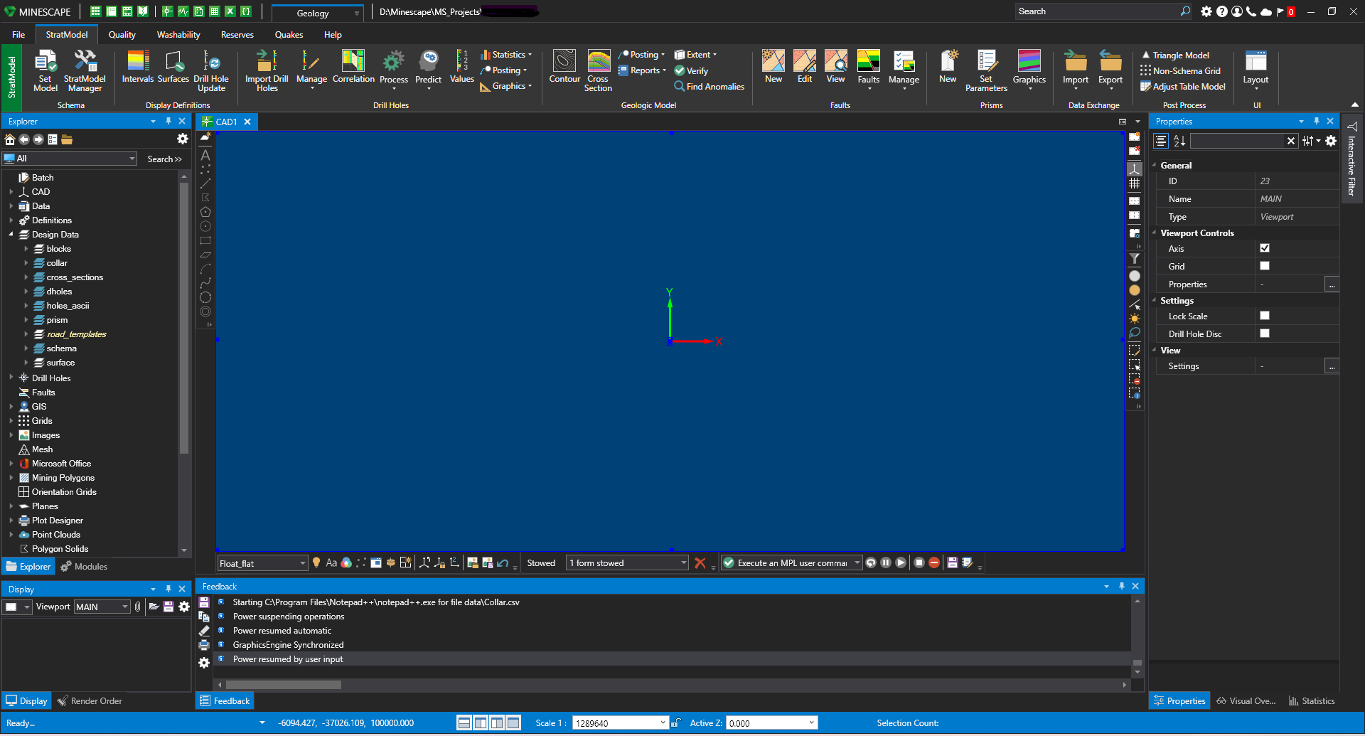
Specifically developed to meet the mining industry’s rigorous demands, MineScape is used at more than 200 of the world’s most complex mining operations from nickel phosphate mining in Russia to coal mining in Indonesia. MineScape 2021 is a suite of integrated solutions designed for open cut and underground mining operations for coal and metalliferous deposits. It delivers extensive geological modelling and mine design functionality, making it a leading mine planning solution globally.
Inzwa Technologies simplifies your geotechnical monitoring with: • The Inzwa Cloud’s centralized sensor management platform that can be configured to host a broad array of devices – vibration, noise, dust, total station, tilt, soil, crack gauges, and more – for 24/7 visibility of all your site’s data. • Intuitive pre-built dashboards help you analyze complex data quickly. • Our Report Template Builder simplifies your automated reporting process, so you can generate customized reports in minutes.
DrillerDB simplifies water well drilling operations with advanced project management tools. Track projects in real-time, manage data efficiently, and make informed decisions with detailed reports. Explore our interactive mapping service and robust project tracking features.
Fully integrate resource estimation into your 3D geological models. Combine the visual insights from your 3D Leapfrog models with the industry-standard resource estimation tools you need most – in a streamlined, flexible workflow.
CrowdPrisma is an advanced survey analysis platform designed to transform qualitative text responses into actionable quantitative insights efficiently. By leveraging state-of-the-art Large Language Models (LLMs), it automates the processing of extensive text data, saving users significant time and resources. Key Features and Functionality: - AI TextEngine: Automatically analyzes thousands of text responses, identifying coherent themes and topics, and provides precise quotes for topic assignmen
Prisms AI is an innovative platform designed to revolutionize the way students engage with mathematics by integrating immersive virtual reality (VR) experiences into the learning process. By leveraging VR technology, Prisms AI enables learners to visualize and interact with complex mathematical concepts, fostering a deeper understanding and retention of the material. Key Features and Functionality: - Immersive VR Learning Modules: Offers a range of VR-based lessons that allow students to explo
Malcom Interactive Fluid Characterization Software enables the processing and interpretation of analytical chemistry data to provide greater insights into hydrocarbon samples.