Products
(299)
TADPRO is a comprehensive software package that accurately predicts torque and drag, removing several risks involved in drilling and completion operations. TADPRO helps users understand the visible, see the invisible and obtain a higher percentage of successful drilling and tripping operations.
CoreLog is a log analysis and petrophysical modeling application, based on industry standard models, used for calculating petrophysical properties of a well(s). It calculates several properties, such as porosity, permeability, volume of shale and others on a zone or well basis.
MBAL helps the engineer better define reservoir drive mechanisms and hydrocarbon volumes. MBAL is an intuitive program with a logical structure that enables the reservoir engineer to develop reliable reservoir models quickly.
Genesis Online Reporting System (ORS) is a service which provides petroleum companies with a web-based system that allows for the uploading of Daily Drilling Reports (DDR usually in Excel files) into a single database and the analysis of well performance on the web site.
PeN-LAB SCI is an application package for drilling monitoring, mudlogging, off-line data analysis, log drawing and reporting.
DeviSoft.Mobile™ is Devico’s PDA software which operates all Devico Borehole Surveying Tools
Underground Mining Metals Software is 100% script-free, and made up of pre-defined logic, which, when combined with the tacit knowledge of mining engineers, automatically determines what is practically possible to achieve across one or many mining operations. This agility gives Engineers the ability to respond rapidly to the market and maximise output delivering shareholder value.
Tecplot Focus enables you to quickly plot all your engineering and test data exactly the way you want.
GIM Suite provides a standardised solution to ensure your data is the single source of truth for your organisation. It also gives you tools to configure your workflows to your companys needs. With the GIM Suite, you can work with reliable data without having to resort to rigid, out-of-the-box solutions.
K2fly is a new type of global software company that delivers enterprise-wide technical assurance solutions for environment, social and governance (ESG) performance.
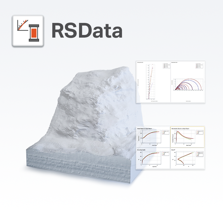
RSData is a versatile toolkit for the analysis of rock and soil strength data, and the determination of strength envelopes and other physical parameters. RSData includes RocProp, a database of intact rock properties that runs as a standalone application. Determine the parameters of linear and non-linear strength envelopes for rock and soil, based on the analysis of triaxial or direct shear strength data. Utilize four of the most widely used strength models in geotechnical engineering - Generali
The OreSense® Platform by Plotlogic is an advanced mining technology that leverages artificial intelligence , hyperspectral imaging, and LiDAR to provide real-time, precise ore characterization. This innovative solution enables mining operators to accurately identify the location and material properties of every rock within their operations, enhancing efficiency and sustainability. By delivering immediate insights into ore composition, OreSense® facilitates optimized resource extraction, reduces
Pangea Geosystems is an industry leader in deformation monitoring systems, support and services.
GES is an integrated 2D geological evaluation and 3D modeling software for upstream oil and gas production. Within the E&P process, GES can perform Log Interpretation, Geological Mapping and Evaluation, 2D and 3D Volumetric, Geomodeling, Well Plan, Horizontal Well Geosteering, Development Plan, and Remaining Oil Analysis.
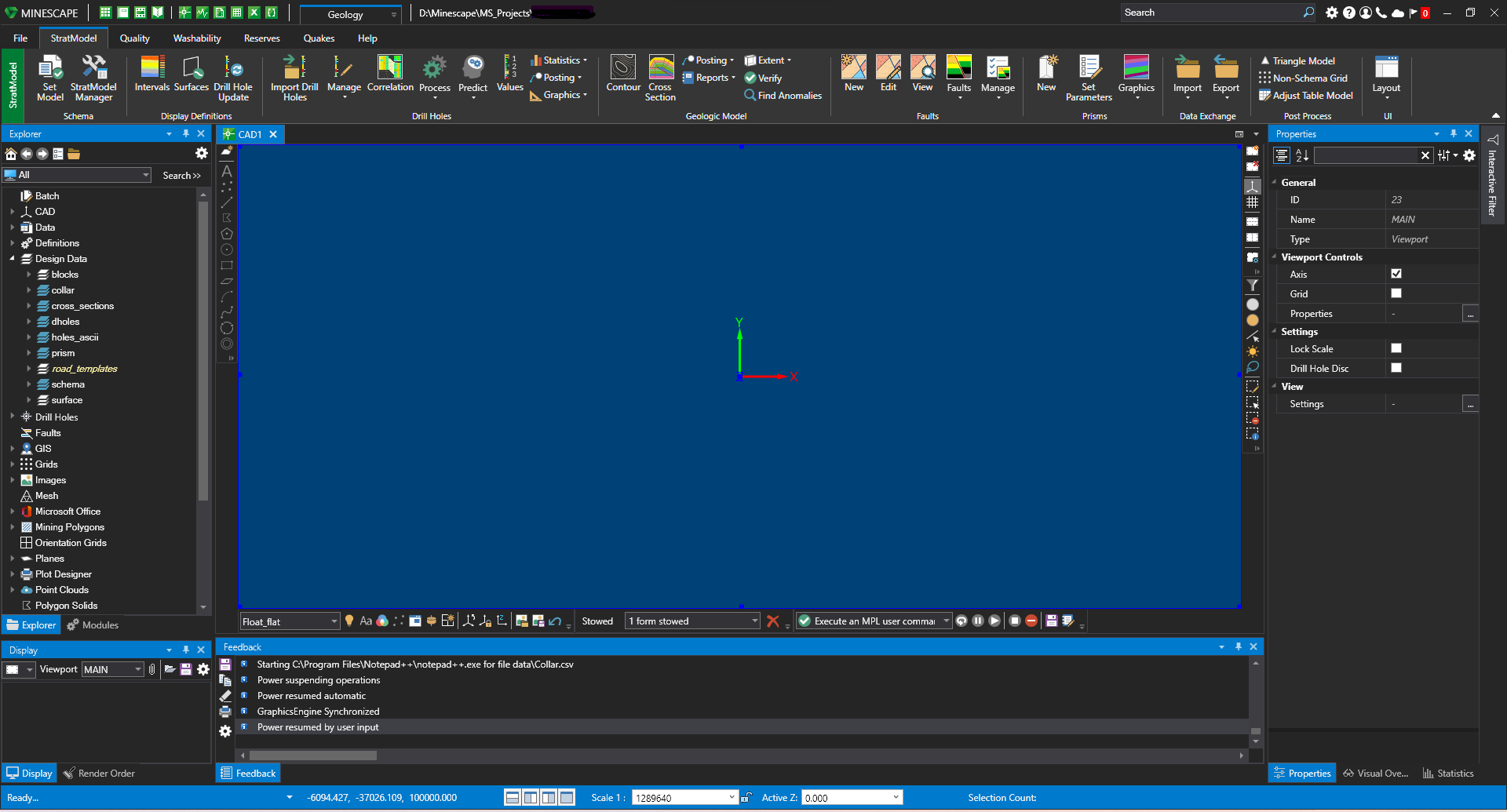
Specifically developed to meet the mining industry’s rigorous demands, MineScape is used at more than 200 of the world’s most complex mining operations from nickel phosphate mining in Russia to coal mining in Indonesia. MineScape 2021 is a suite of integrated solutions designed for open cut and underground mining operations for coal and metalliferous deposits. It delivers extensive geological modelling and mine design functionality, making it a leading mine planning solution globally.
Online feature rich, easy to use CAD software for modelling foundations. The GEMS suite supports modelling both shallow and deep foundations. Supported on Windows & macOS and Cloud
Visualise, track, integrate, and manage your geoscience data from a centralised, auditable environment. Central gives multidisciplinary teams a space to collaborate in the cloud. Whether you’re a geologist, geophysicist, engineer, manager, or stakeholder – everyone can keep abreast of project changes as they happen. Central is your shared workspace wherever you are in the world, making projects more accessible, shareable and collaborative.
mDetect is a muon technology company that aims to see the unseeable! Muons are particles from space that transit through solid structures both above and below ground. Muon technology has proven applications in the mining sector to support mineral deposit identification and analysis, subsurface mapping of underground works, and even the ability to detect changes in structures such as when air gaps open up. We are exploring applications of this technology platform in construction, infrastructure a
Fully integrate resource estimation into your 3D geological models. Combine the visual insights from your 3D Leapfrog models with the industry-standard resource estimation tools you need most – in a streamlined, flexible workflow.