Products
(299)
HSE™ Software is an advanced structural engineering solution tailored for the modeling, analysis, design, and evaluation of overhead sign structures, traffic signal supports, and high-mast lighting towers (HMLT). Developed by SAFI™, this software caters specifically to the needs of Departments of Transportation (DOTs) and engineering firms across the United States, ensuring compliance with standards such as AASHTO LTS-13 ASD (6th edition), AASHTO LTS-15 LRFD (1st edition), and CAN/CSA S6. Ke
WinTrack is a solution that scans hard copy data and vectorizes the waveform of the original traces providing you with a range of data processing options, up to and including migration.
Gravitas is an integrated operational geology system that comprises application modules that provides an operations geology toolset to manage the geological workflow and integrate with other disciplines such as drilling.
The VISAGE finite-element geomechanics simulator enables you to plan for and mitigate risks by modeling problems before they occur.
The DiplomatTM suite is a comprehensive collection of transcription, vectorising and data management software. Designed by OvationData, the Diplomat suite has been used internally to transcribe more than 3 million tapes. The Diplomat software suite is used world-wide by exploration and production companies.
Inzwa Technologies simplifies your geotechnical monitoring with: • The Inzwa Cloud’s centralized sensor management platform that can be configured to host a broad array of devices – vibration, noise, dust, total station, tilt, soil, crack gauges, and more – for 24/7 visibility of all your site’s data. • Intuitive pre-built dashboards help you analyze complex data quickly. • Our Report Template Builder simplifies your automated reporting process, so you can generate customized reports in minutes.
DrillerDB simplifies water well drilling operations with advanced project management tools. Track projects in real-time, manage data efficiently, and make informed decisions with detailed reports. Explore our interactive mapping service and robust project tracking features.
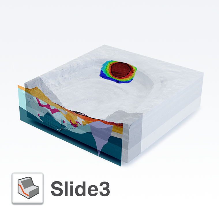
Created in 2017, Slide3 (formerly “Slide3”) is a new tool that allows geotechnical engineers to calculate the factor of safety of complex 3D slope stability geometries that 2D models cannot fully simulate. Model advanced geometries like landslides, MSE walls, slopes supported by soil nails, and more. With Slide3, users can calculate failures in any direction without the need for defining the direction in advance, increasing efficiency in modeling and analysis. Computing large models can take t
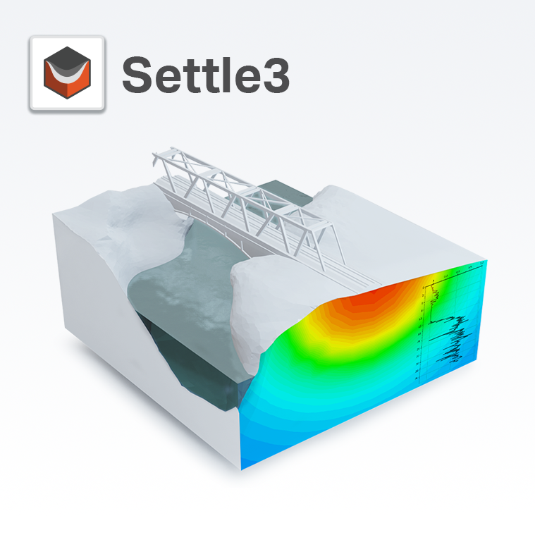
Settle3 is a three-dimensional program for the analysis of vertical consolidation and settlement under foundations, embankments and surface loads. The program combines the simplicity of one-dimensional analysis with the power and visualization capabilities of more sophisticated three-dimensional programs. You can quickly create complex soil profiles and loading conditions, and view results in three dimensions. Modeling can be staged, and time-dependent consolidation analysis can be performed in
COMPASS is an application for directional well path planning, survey data management, and anti-collision analysis designed for oil companies and directional drilling contractors.
DEPRO is a comprehensive torque, drag and hydraulics program.DEPRO predicts the limits in the length of a horizontal well based on specific friction factors, recommends rig specifications, and evaluates the required weight to set a packer.
Galaxy4D is a fully integrated geological, geostatistical and reservoir characterization software platform. It provides geologists and reservoir engineers with a highly versatile and easy to use 3D/2D stratigraphic and reservoir modeling tool.
Recall Borehole is a data management software designed for efficiently storing, managing, and publishing raw and edited borehole data in one integrated system.
StuckPipePro calculates differential sticking force, drag, stuck chance along drill strings or casings for pick up operations.Its stuck mechanical analysis and a decision flow chart help users find the stuck causes and take corresponding measures to free the pipe.
UBDPRO models the complex hydraulics for compressible fluids including air, mist, foam and 2-phase fluids. This software model is used to optimize gas and liquid injection rates in order to control bottomhole pressure.