Products
(1015)
BRANDING We help lifestyle brands create a beautiful identity and Logo design with compelling messaging that communicates their values. WEB DESIGN We help start-ups, wellness, and fashion brands revamp their sites, creating a beautiful digital experience with SEO optimization. E-COMMERCE Customized e-commerce design in Shopify, Woocommerce, Webflow or Squarespace with a unique brand experience. SOCIAL MEDIA  We help you design and manage all your social media channels. We create
Gist AI is a free Chrome extension powered by ChatGPT that enables users to efficiently summarize content from websites, YouTube videos, and PDFs. By extracting key points from lengthy materials, Gist AI helps users save time and enhance comprehension. Key Features and Functionality: - Comprehensive Summarization: Summarizes content from websites, YouTube videos, and both online and local PDFs. - Time Efficiency: Instantly extracts key points from lengthy articles, videos, or documents with a
SmartGig is cloud-based event management software for festivals, markets and live events. Its connected modules manage trader applications, compliance documents, fees, pitch allocation and check-in; ticket sales, allocated seating, refunds and attendee scanning; stage schedules, running orders and performers' technical requirements; transport routes, timings and driver job sheets; and event site plans. Organisers select the modules their event needs and share current information with their team.
VISA FM Raumbuch ist eine web-basierte Facility-Management-Software für Flächenmanagement, Instandhaltung und Gebäudemanagement. Das Grundsystem umfasst Raumbuch, Inventarbuch, Auftragsbuch, Dokumentenmanagement und Berichtswesen; Fachmodule und die kostenlose Raumbuch-App erweitern die Lösung für spezielle Einsatzbereiche und den mobilen Einsatz. Die Facility Management Software ist intuitiv zu bedienen, kosteneffizient und ohne unnötigen Funktionsballast als SaaS-Version oder On-Premises-Varia
SuperMap stands in a position of self-innovation, combining three major technology systems, and develops a full series of GIS platform products.
OrbGIS is a complete web GIS platform built in Sweden and a European alternative to ArcGIS Online for municipalities, agencies, consultancies and researchers. Upload Shapefile, GeoPackage, GeoJSON, GeoParquet, KML or CSV and OrbGIS handles projection, indexing and tiling automatically, including multi-gigabyte countrywide datasets, with real coordinate systems such as SWEREF 99 TM. From the same layers you build web maps, dashboards, surveys, story maps (Journeys), print layouts and edit attribu
AnyCoord for Mac is designed to effortlessly change your device’s virtual GPS location. Whether you want to play AR games, or change location on social media apps, AnyCoord for Mac gives you complete control over your device’s location settings. Key Features: 1. Set a virtual location on your iDevices. AnyCoord for Mac allows you to easily set a virtual GPS location on your iDevices. Just enter the location and your GPS will update instantly. 2. Create custom routes for your iDevices. With AnyCo
Spotzi is a geographical data company that offers a Mapbuilder. This is an easy-to-use FREE online GIS/data mapping platform for businesses/professionals/students.
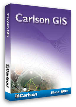
With tools for data capture and linking, data labeling, import/export of SHP files, polygon topology creation and analysis, and more, Carlson GIS is an awesome GIS “Swiss Army Knife” for the surveyor or engineer.
Variac GIS Geospatial is a solution that helps create a spatial map database that conforms to the specifications and requirements of your business.
GEOCommand is a graphical situational awareness interface for viewing critical assets and infrastructure.
ROLTA OnPoint allows you to publish data securely over the web, connect to spatial and non-spatial data throughout your organization, turning your web-GIS into a true enterprise solution.
TNTmips software is a complete Geographic Information System (GIS) that lets you work with virtually any type of geospatial data including imagery, terrain surfaces, and map data with associated database attributes.