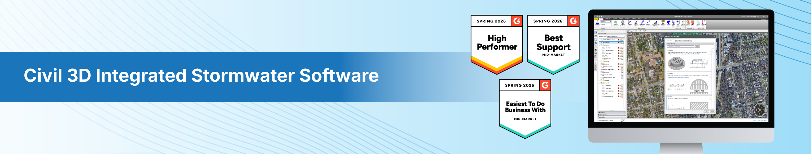


GeoSTORM combines an easy-to-use interface with the ability to use and process LIDAR. Implementation is easy, whether starting a new project from scratch or importing an existing one. Integration with AutoCAD is a simple matter or importing or exporting pipe networks. My favorite features are the undo button and scenarios. I also like the ability to test out pipe/node edits from within the profile view before you decide whether to keep them.
So far, I have used GeoSTORM successfully for several complex storm system modification projects over the last few months. I look forward to completing many more projects with this program in the future.
I have found the CivilGeo tech service to be fast, friendly, and responsive. If you have any issues or want to see a new feature, just let them know. Also, they provide training. Review collected by and hosted on G2.com.
So far, I have used GeoSTORM to design major modifications to several complex existing storm systems. My only real complaint is the relatively large size of the nodes when shown within the profile view. They don't scale when you zoom in. It's annoying, but no program is perfect.
I had a couple of other problems, one with the software and some with my settings or data. Each time, tech service took care of it quickly, usually within a few hours. Review collected by and hosted on G2.com.
Hello,
Thanks a lot for sharing your review. Reading comments like yours gives a boost to our confidence; and, of course, we are very pleased to know that GeoSTORM helps you achieve your engineering goals.
We also appreciate hearing your concern regarding the nodes' size issue in the profile view. Rest assured, our team is constantly working to improve the many features and overall workability of GeoSTORM.
To ensure you have the best experience in the future, reach out to us at support@civilgeo.com.
Thank you!


